File:Germany location map.svg

Summary
| Description |
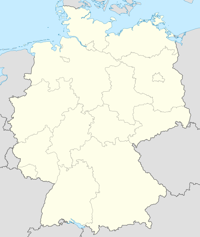
Deutsch: Positionskarte von Deutschland
Quadratische Plattkarte, N-S-Streckung 150 %. Geographische Begrenzung der Karte:
English: Location map of Germany
Equirectangular projection, N/S stretching 150 %. Geographic limits of the map:
Français : Carte de l'Allemagne
|
||||
| Date | |||||
| Source | Own work, using United States National Imagery and Mapping Agency data | ||||
| Author | NordNordWest | ||||
| Other versions |
Derivative works of this file:
Bundesrepublik Deutschland (vor 1990 nur West-Deutschland):
Deutsche Demokratische Republik (mit BRD im Ausschnitt):
Ostdeutschland (vor 1990 Deutsche Demokratische Republik):
Deutschland zwischen Mai 1945 und Oktober 1949:
Thematisch:
Deutsches Reich (1918–1945) (best used with this template (de)):
|
||||
| SVG development |
|


_23_May_1949_-_6_Oct_1949.svg)


_location_map.svg)
_location_map.svg)


_location_map.svg)
Licensing

|
Permission is granted to copy, distribute and/or modify this document under the terms of the GNU Free Documentation License, Version 1.2 or any later version published by the Free Software Foundation; with no Invariant Sections, no Front-Cover Texts, and no Back-Cover Texts. A copy of the license is included in the section entitled GNU Free Documentation License. |
|
This file is licensed under the Creative Commons Attribution-Share Alike 3.0 Unported license. | |
|
File history
Click on a date/time to view the file as it appeared at that time.
(newest | oldest) View (newer 10 | older 10) (10 | 20 | 50 | 100 | 250 | 500)
| Date/Time | Thumbnail | Dimensions | User | Comment | |
|---|---|---|---|---|---|
| current | 12:51, 16 September 2013 | | 1,073 × 1,272 (452 KB) | SokoWiki (talk | contribs) | Clearer borders. |
| 08:34, 16 September 2013 |  | 1,073 × 1,272 (452 KB) | NordNordWest (talk | contribs) | Reverted to version as of 12:32, 2 October 2012; didn't make anything better | |
| 08:34, 16 September 2013 |  | 1,073 × 1,272 (452 KB) | NordNordWest (talk | contribs) | Reverted to version as of 12:32, 2 October 2012; didn't make anything better | |
| 20:08, 15 September 2013 |  | 1,073 × 1,272 (451 KB) | SokoWiki (talk | contribs) | * | |
| 12:32, 2 October 2012 |  | 1,073 × 1,272 (452 KB) | Palosirkka (talk | contribs) | Reverted to version as of 20:14, 5 August 2012 Location maps must remain very accurate | |
| 05:40, 2 October 2012 |  | 1,073 × 1,272 (396 KB) | Palosirkka (talk | contribs) | Scrubbed with http://codedread.com/scour/ | |
| 20:14, 5 August 2012 |  | 1,073 × 1,272 (452 KB) | NordNordWest (talk | contribs) | upd | |
| 10:03, 19 January 2010 |  | 1,073 × 1,272 (490 KB) | NordNordWest (talk | contribs) | update | |
| 08:33, 22 July 2009 |  | 1,075 × 1,273 (608 KB) | NordNordWest (talk | contribs) | c | |
| 14:36, 13 October 2008 |  | 1,075 × 1,273 (606 KB) | NordNordWest (talk | contribs) |
- You cannot overwrite this file.
File usage on Commons
More than 100 pages use this file. The following list shows the first 100 pages that use this file only. A full list is available.
- Bad Hersfeld
- Bad Honnef
- Billigheim
- Bornheim (Rheinland)
- Deutschland
- Eitorf
- Helmstedt
- Hennef (Sieg)
- Info:Kusterdingen
- Info:Mössingen
- Kusterdingen
- Mosbach
- Mössingen
- Nentershausen
- Oberpleis
- Ruppichteroth
- Troisdorf
- Wilhelmsstift Tübingen
- User:Daniel Mietchen/Category:Images used by media organizations but violating license terms
- User:NordNordWest/Gallery/Location maps
- User:PMMKALYAN
- User:Sekamor
- User talk:Mmh
- User talk:NordNordWest/Archive
- User talk:Sting/Archive 01
- User talk:Ubed Thaheem
- Commons:Map resources/Blank location maps
- Commons:Overwriting existing files
- Commons:Overwriting existing files/cs
- Commons:Overwriting existing files/de
- Commons:Overwriting existing files/en
- Commons:Overwriting existing files/es
- Commons:Overwriting existing files/fr
- Commons:Overwriting existing files/ja
- Commons:Overwriting existing files/pl
- Commons:Overwriting existing files/pt
- Commons:Overwriting existing files/ru
- Commons:Overwriting existing files/uk
- Commons talk:Project Mapmaking Wiki Standards
- File:Ambulante Kinderhospizdienste in Deutschland.PNG
- File:Auerbach (Karlsbad) location map.svg
- File:Bahnhoefe Wuerzburg.png
- File:Deutschland.svg
- File:Deutschland Autobahnen.svg
- File:East-West-Germany-October 1949-July 1952.svg
- File:East Germany location map.svg
- File:Germany, Federal Republic of location map 23 May 1949 - 6 Oct 1949.svg
- File:Germany, Federal Republic of location map April 1952 - August 1955.svg
- File:Germany, Federal Republic of location map December 1950 - April 1952.svg
- File:Germany, Federal Republic of location map January 1957 - October 1990.svg
- File:Germany, Federal Republic of location map October 1949 - November 1950.svg
- File:Germany, Federal Republic of location map September 1955 - December 1956.svg
- File:Germany, German Democratic Republic location map January 1957 - October 1990.svg
- File:Germany, German Democratic Republic location map July 1952 - January 1957.svg
- File:Germany, German Democratic Republic location map October 1949 - July 1952.svg
- File:Germany, German Democratic Republic location map w·o FRG July 1952 - October 1990.svg
- File:Germany, German Democratic Republic location map w·o FRG October 1949 - June 1952.svg
- File:Germany, location map (SBZ perspective) 23 May 1949 - 6 Oct 1949.svg
- File:Germany2 location map.svg
- File:Germany (+districts +municipalities) location map.png
- File:Germany (+districts +municipalities) location map.svg
- File:Germany Eishockey Oberliga 2008-09.svg
- File:Germany location map.svg
- File:Germany location map 23 April 1949 - 22 May 1949.svg
- File:Germany location map 8 Jun 1947 - 22 Apr 1949.svg
- File:Germany location map April 1992 - July 1992.svg
- File:Germany location map August 1992 - June 1993.svg
- File:Germany location map July 1993 - December 2009.svg
- File:Germany location map October 1990 - March 1992.svg
- File:Germany location map labeled 8 Jun 1947 - 22 Apr 1949.svg
- File:Glacis Minden.svg
- File:Glacis Minden cropped.jpg
- File:Glacis Minden cropped neu.jpg
- File:Häfen Minden.svg
- File:JWP-Karte-Deutschland.svg
- File:KRB location map.png
- File:Karte Deutschland.png
- File:Karte Deutschland.svg
- File:Karte konstanz in deutschland.png
- File:Lage Freiberg in Deutschland.png
- File:Locator map Corvey.svg
- File:Reg-sparkassenverbaende-dtl.png
- File:Relief Map of Germany.png
- File:Relief Map of Germany.svg
- File:Salt mining in germany.png
- Template:Germany location map/other versions
- Template:Infobox settlement
- Template:Positionskarte
- Category:Ammerbuch
- Category:Bad Niedernau
- Category:Baisingen
- Category:Bodelshausen
- Category:Dußlingen
- Category:Gomaringen
- Category:Gütersloh
- Category:Hirrlingen
- Category:Königslutter am Elm
- Category:Neustetten
- Category:Ofterdingen
- Category:Rottenburg am Neckar
_location_map.png)
File usage on other wikis
The following other wikis use this file:
- Usage on af.wikipedia.org
- Neckar
- Brocken
- Heiligendamm
- Lughawe Frankfurt
- Züsedom
- Breinigerberg
- Grafenwöhr
- Gebruiker:Pieter-ZA/Sandput/Grafenwöhr 2
- Gebruiker:Pieter-ZA/Sandput/Grafenwöhr
- Feldberg (Swartwoud)
- Gebruiker:Pieter-ZA/Sandput/Passau
- Caputh
- Tempelhof-lughawe
- Haithabu
- Brobergen
- Bayreuth
- Bimmen
- FIFA Sokker-Wêreldbekertoernooi in 2006
- FIFA Sokker-Konfederasiebeker in 2005
- Domkerk van Speyer
- Sjabloon:Liggingkaart Duitsland
- Katedraal van Aken
- Kronberg im Taunus
- Eschborn
- Schwalbach am Taunus
- Steinstücken
- Eltville am Rhein
- Bad Homburg vor der Höhe
- Friedrichsdorf
- Hanau
- Limburg an der Lahn
- Lorsch
- Gelnhausen
- Gießen
- Königstein im Taunus
- Freudenstadt
- Sylt (munisipaliteit)
- Kiedrich
- Zugspitze
- Selters (Taunus)
- Hochheim am Main
- Sellin
- Usage on als.wikipedia.org
View more global usage of this file.